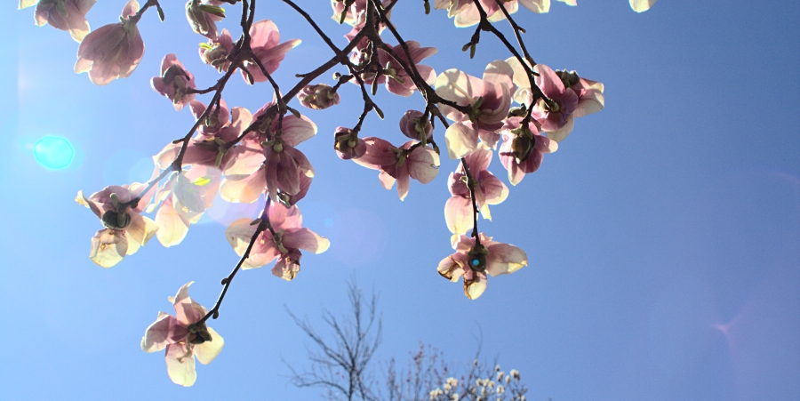
Effects of Climate Change on Palisades and Piermont
Climate Change is with us now, accelerating into a Climate Crisis at an ever-increasing pace. Wildfires in the Western states, a record number of hurricanes in the Gulf and along Atlantic shores have been this year but distant calamities. Are we spared here in the Hudson Valley? Well, this year we were lucky and had no severe coastal storms hitting the Greater New York Metropolitan area. But sea level rise is increasing its pace, with dire consequences for the Hudson River and its river communities and ecology.
Much of the rate of sea level rise depends on whether or not we continue to put greenhouse gases into the atmosphere via burning fossil fuels. The highest sea level rise forecasts for the lower Hudson Valley, adopted by New York State for planning purposes, are 75 inches by 2100 (more than 6 feet !!). What will be the consequences for the nearby river communities and the impacts on the Hudson’s ecology?
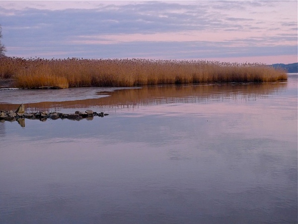
It is likely that the Piermont Marsh, stretching between the hamlets of Palisades and Piermont, at the base of Tallman Mountain State Park, will not be supplied with sufficient sediment to be able to keep up with sea level rise. The marsh is doomed to be drowned by or before 2100. Piermont’s historic Bogertown neighborhood, abutting against the Sparkill and the marsh, will have been abandoned long before; and therefore the loss of the marsh as a buffer against wave action and debris impact on these near-shore neighborhoods will no longer matter, because much of the low-lying sections of Piermont will be gone, perhaps as early as the 2050s. Fewer properties will be at risk in Palisades proper since the river shore has a relatively steep slope here, except near a few low-lying properties located right on the Hudson shore.
Another effect of sea level rise will be that the Hudson will become more saline. Saltwater brought in by ocean tides is at present largely limited to the deepest parts of the river channel, near the middle of the river, because saltwater is denser; hence it occupies mostly the deep channel. But as the Hudson rises with sea level and hence gets deeper, the saltwater may spread closer to the shores. In addition, the “salt water front,” i.e. the boundary between freshwater and brackish water, may migrate farther upstream than it does now. It typically reaches its most upstream location during the dry season in the summer, when the supply of freshwater from the river’s headlands in the Adirondacks and Catskills is lowest. This upstream migration of the saltwater front could cause some problems for emergency freshwater supply, for instance for Poughkeepsie, since it has a filtration water supply plant tapping the Hudson River when local reservoirs run dry and cannot service the town’s demands.
Portions of the hamlet of Palisades sloping towards the Hudson may be more affected by severe fluctuations in precipitation than by sea level rise and storm surges, with more extreme droughts interspersed by severe down-pours. The latter may swell some of the minor rivulets finding their way down to Snedens Landing. In extreme cases down-pours may cause some minor flooding, erosion and mudflows as the water rushes down towards the Hudson. But compared to other river communities Palisades will likely face fewer impacts from climate change than many other river communities.